Laugavegur : the hike that should be on your bucket list !

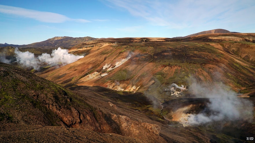
Laugavegur, meaning « hot spring route » is the name of the famous hike from Landmannalaugar to Þórsmörk.
Cliquez ici pour voir l'article en français
Why is it a must-do?
Landmannalaugar is the most popular site of the highlands. This pure beauty can be discovered by foot when you're hiking on the laugavegur hiking trail. However, many other hiking trails allow you to discover Landmannalaugar with different level of difficulty.
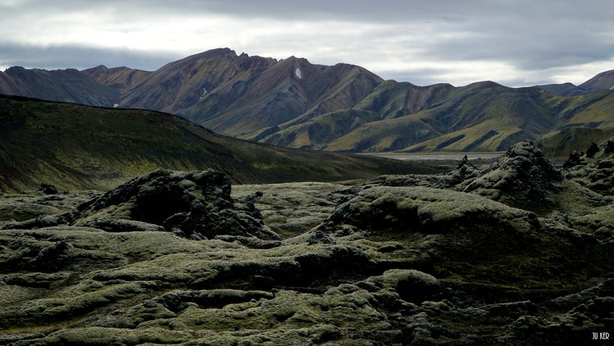
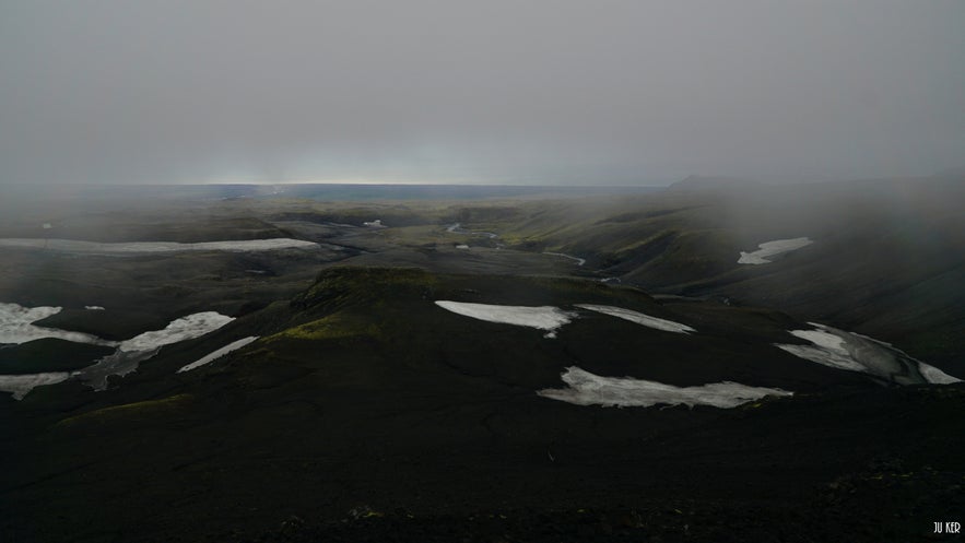
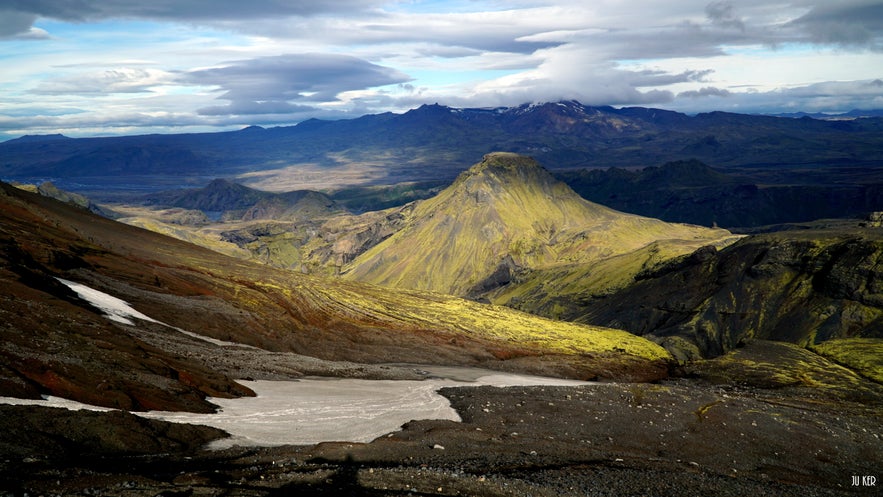
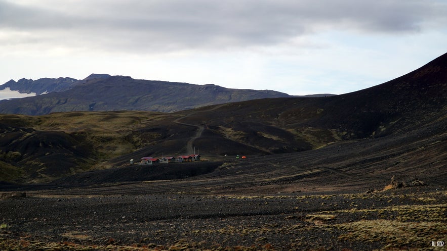
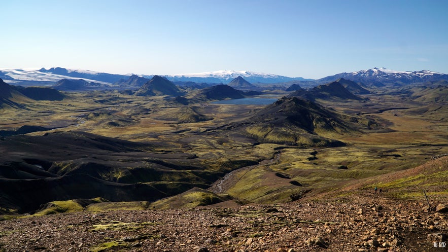
Landmannalaugar is located in the Fjallabak Nature Reserve in the Highlands. The landscapes are shaped by volcanic activity, which forged reddish craters, mountains of rhyolite, valleys covered with small streams, winding between fields of ash and large lakes. This region is one of the most spectacular in Iceland. The colors of the landscape are incredible and the light, which I always find very special in Iceland, always makes them more intense and deep.
Find all the activities in Iceland during summer here.
Wanna go for a day? Why not!
After I hiked for 6 days on the Laugavegur trail, I stayed few days to enjoy the surroundings and hiked other "local" and shorter trails around Landmannalaugar. If you want to take this option, many day tours are organised to Landmannalaugar. It's still the best option if you're not staying a long time in Iceland and want to discover the master piece of the highlands and Landmannalaugar. My advice : have a look at the weather forecast before booking :)
Wanna go for the Laugavegur hike? Here are the main steps!
Whether you are hiking the trek in either direction, it is crucial to follow the main steps described below (or to double them if you feel capable). Indeed, it is forbidden to camp outside these areas, in order to respect the environment, the whole path being a nature reserve.
In the sense in which I realized the trek, you can hike all the way in six days, marked by huts and camping areas (if you do the trek in the opposite direction, you'll just have to reverse the difference in altitude):
1. Skógar - Fimmvörðuháls : 13,2km // + 983m - 52m
2. Fimmvörðuháls - Þórsmörk : 10,4km // + 213m - 988m
3. Þórsmörk - Emstrur (Botnar) : 15,9 km // + 730 m - 440m
4. Emstrur (Botnar) - Álftavatn : 18,2 km // + 392 m - 368m
5. Álftavatn - Hrafntinnusker : 10,3 km // + 634 m - 144m
6. Hrafntinnusker - Landmannalaugar : 10 km // + 273m - 679 m
I do not find it relevant to give you time for each steps it really depends on your shape, your pace, your breaks - including photographic (which can be long) - and the weather (the wind in the face will surely slow you down but you will probably have fewer breaks). Overall, I advise you to leave early, not to wait for the thinning (sometimes it will never come!) And especially not to overload yourself and take a backpack that you can carry ! If you have a look at the difference in altitude, whether you go up or down, you will be cursed for having to carry 30 kg for almost 1000 meters. Otherwise, if this trek is done in 6 days and if the weather is nice, you'll really have to take the time to appreciate the beauty of the landscape - don't rush :)
How to get to the starting points?
Below you will find the full description of the trek to practice alone. Know that to go to Skógar or Landmannalaugar, many buses run. It will depend on the choice of route you choose, I advise you, however to hike from Skógar to Landmannalaugar, just because you will discover more and more spectacular landscapes (yes, yes it is possible :)).
Several bus companies offer the route (check dates and times, highland roads open only from June to September):
To Skógar:
- Sterna: choose line 12 / 12a - possible departure from Reykjavik
- Straeto: choose the line 51 - you need to consult the schedules
To Landmannalaugar:
- Sterna: choose line 13 / 13a - possible departure from Reykjavik
- Trex: this company offers a passport that allows you to book your return ticket from Reykjavik, without imposing a precise return date: once you arrive at your final destination, you have plenty of time for your hike and then return to Reykjavik from your choice Þórsmörk or Landmannalaugar.
These same companies of course ensure the return to Reykjavik!
The trip will cost you around 15 000 Kr (about 105 € / person for the Trex Pass (for me the best option)).
You can also book directly the Highland Hikers Passport.
Where to stay for the night ?
The booking website is the same for all the steps! Know that if you want to sleep in a hut during the high season, you will need to book really early! Sometimes all rooms are full several months before. The accommodations are located along the hiking trail. However, if you have no room in the accommodation, you can still camp on the campsite just nearby the accommodation (you will have access to the toilet and water). Depending on your route, you can stay in an accommodation or at the campsite: Fimmvörðuháls, Þórsmörk (there are two possibilities: Básar (my favorite!) And Langidalur), Álftavatn, Hrafntinnusker and Landmannalaugar. On the huts booking website, you will have all the required information (including GPS location).
The accommodation will cost you 9500 Kr (70 € / person) for a night in a hut against 2000 to 2500 Kr (15 to 20 € / person) for one night at the campsite (hot showers are not included).
My advice and information to remember if you want to hike alone !
- do not attempt this hike if you do not feel like walking for a long time and in difficult conditions (rain, wind, snow (yes it can snow in summer...), carrying your backpack for a long time...).
- do not forget to consult the weather forecast before leaving (you can consult the weather forecast either by clicking here or by asking in the morning, before you leave for your hike, at the campsite or your accommodation. You can also check this website about the road conditions (if you're coming by car). Finally, you can check the website about the safety during your trip : on this website, you will find information about your security and you can also register your trip and itinerary.
- some will say that a GPS is not useful because the path is well marked. Maybe there are right, however in thick fog, wind, snow, some part of the path are not obvious and clearly marked. A GPS is not what weighs the heaviest in your pocket, so maybe taking one is the best choice!
- do not forget to take warm clothes, windproof and waterproof: the icelandic rain is sometimes horizontal, you must be ready to have waterproofs for every part of your body (shoes, pants, jacket...) including your backpack and the inside of the backpack - you can take the rainproof "poncho" (strong and resistant) with no hesitation :)
- plan enough food: you never know what will happen to you and treat yourself with a piece of chocolate after walking 5 hours in the rain can be heaven! Also note that shelters open late and close early during the season - check out their website. You will find some huts on your way that also offering food. This will be an extra budget to add to transportation and accommodation but sometimes, maybe you will need to have "real" food. Please note that you will not have many shops on the way apart from small grocery stores with basic products in Þórsmörk (Básar) and Landmannalaugar.
- fill your water bottle and your water reserves as soon as you notice a stream. Your first kilometers, between Skógar - Fimmvörðuháls then Fimmvörðuháls - Þórsmörk, will be quite physically demanding and you will definitely need water! You won't need to treat the water, just make sure you collect running water.
- plan equipment suitable for (heavy) wind, rain, snow: ban the first price products especially for your tent (exit tents that are set up in 2 seconds), your backpack (opt for comfort first) and shoes / rain gear. In Iceland, even if your clothes and shoes are Gore-Tex, you can finish soaking to the bone, I can tell! Also plan to store your clothes / sleeping bag in a waterproof bag ;)
- also plan to take hiking sandals to cross the rivers (which you can easily cross but not barefoot!). To cross river, you need first to choose the most suitable place for the crossing (the place where the river is the widest). Then, when you will cross the river, you must stay in front of the current and progress upstream in diagonal. Everything will be alright! :) The water comes down glaciers so it will very cold but...kind of refreshing (to a certain point) after walking during hours!
Feel free to contact me for more information !
Have a nice trip ! Góða ferð !
其他有意思的博客
冰岛最浪漫的角落
对于很多人,遥远的冰岛有着世界尽头的神秘,有着区别于巴黎、马尔代夫、自成一体的浪漫。没有埃菲尔铁塔和蒂凡尼,没有热带沙滩,而是在冰川、火山、苔藓地的背景下蜜月旅拍、婚拍,甚至举办一场冰岛婚礼。来冰岛旅行,多是要跨千山万水、飞跃大洋大陆,很有一点“万水千山陪你走过”的史诗感。难怪很多人说,光是冰岛二字,就足够浪漫了。 冰岛虽然不大,但是地貌极其丰富,不同的自然景观自然有不同的气质。这一篇,就挑阅读更多从极光观测到摄影-到底该不该来冰岛看极光
很多朋友都想来冰岛看极光,但是冰岛到底适不适合看极光呢?几月、什么季节能看到极光?是不是一定要参加北极光旅行团?如何能拍摄出美丽的极光照片呢?在冰岛住了好几年了,从刚开始逢极光必出门,到如今家里阳台就能看极光,我对在冰岛看极光的了解和经验,也算得上大半个专家了,且听我娓娓道来吧。 到底该不该来冰岛看极光呢?最坦诚的答案是,不要只为了看极光而看极光。 极光原理 太阳活动→太阅读更多
迷失冰岛的米湖游览推荐|不只有温泉的地热宝藏区
我在冬夏秋均到访过米湖,看过米湖的不同面。一直以来,米湖到底值不值得去是很多游客争论的问题。有些人觉得这里是来冰岛旅行的必去目的地,有些人则说米湖“太丑了”,连照片都不想多拍几张。那米湖到底值不值得来呢?到底怎么玩呢? 米湖的风景 北部的米湖,因地理位置相距首都雷克雅未克略远,很多来冰岛的短途游客选择放弃,其实米湖应该是和黄金圈、南岸沿线至冰湖齐名的冰岛景色,这里冷热相融,可谓最冰岛,尤其阅读更多

将冰岛最大的旅行平台下载到您的手机中,一站式管理您的整个行程
使用手机摄像头扫描此二维码,然后点击显示的链接,将冰岛最大的旅行平台添加到您的手机中。输入您的电话号码或电子邮件地址,以接收包含下载链接的短信或电子邮件。

