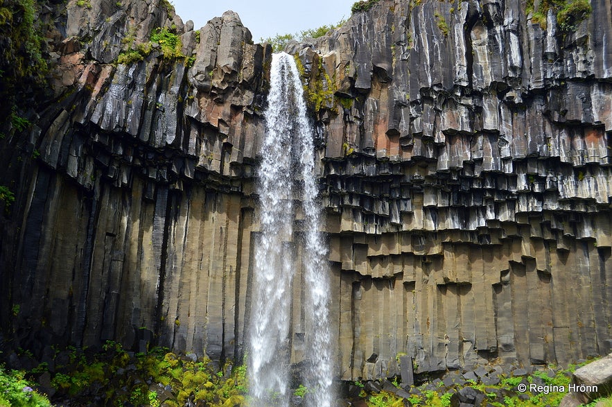
In this travel-blog I want to show you the elegant Svartifoss waterfall - the Black Fall, a very pretty waterfall which cascades down into a heart-shaped gorge made of black and brown basalt columns.
Svartifoss - the Black waterfall is one of the unique waterfalls in SE-Iceland, tucked away in Skaftafell nature reserve, which has since 2008 belonged to Vatnajökull National park.
Top photo: Svartifoss up close
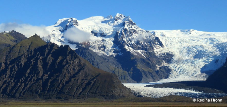
Glacial tongues
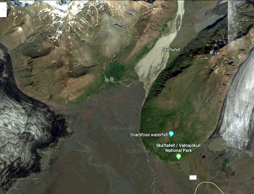
Skaftafell is a true oasis after driving through the vast black lava sand plains of Skeiðarársandur glacial outwash.
On this drive, you will see glacier tongues in abundance, as here we are in the Vatnajökull glacier region, which is the largest of Iceland's glaciers.
It is especially beautiful driving in this area on a sunny day with blue skies.
Here you will see the glacier tongues Skeiðarárjökull, Morsárjökull, Skaftafellsjökull and Svínafellsjökull and Öræfajökull glaciers are very prominent in this area.
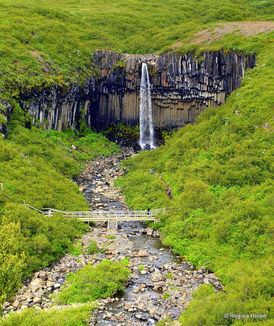
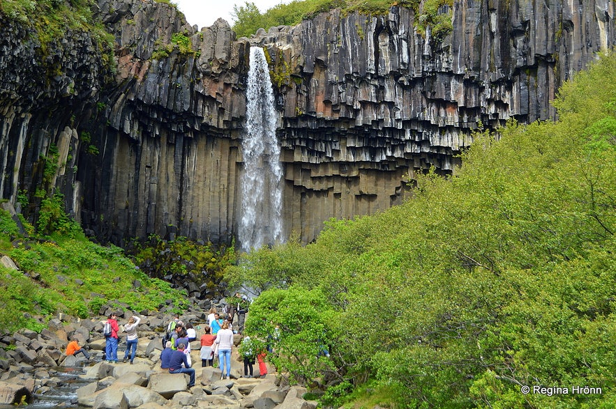
Svartifoss as seen from above
Now let's have a look at Svartifoss waterfall.
Svartifoss is such an elegant waterfall, 20 metres tall, and black columnar basalt formations beautifully frame the waterfall and give it its name, Black Fall. From afar it looks like a big heart.
It is a very romantic waterfall and one of my girlfriends got engaged at Svartifoss :)
At the Visitor Centre in Skaftafell, which is open all year round, you can get information on how to reach Svartifoss waterfall. The hike is 1.5 kilometres from the Visitor Centre, uphill, and on the way to Svartifoss, you come across other waterfalls in the gorge.
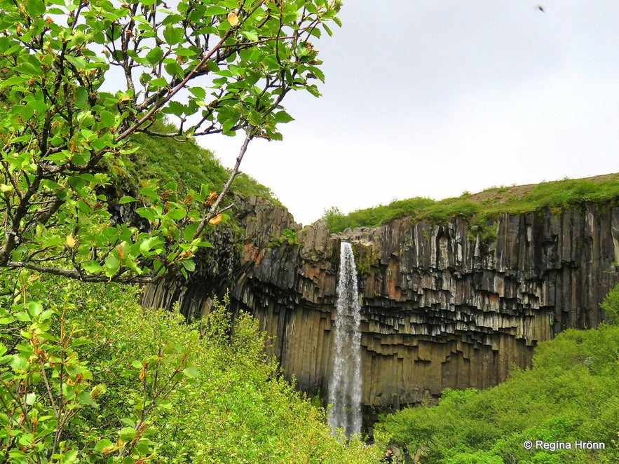
Svartifoss waterfall
Svartifoss cannot be seen from the road and the hike up to it takes some 90 minutes back and forth with photo stops.
If you do the circular hike, which I did and show you in this travel-blog, then the hike is 5.5 km according to the website of Vatnajökull National Park.
The whole circle took me 3 hours to complete, but then I spend a lot of time taking photos for my travel-blog, so you could maybe do this circle in a shorter time.
The short video above I shot so that you can hear the waterfall, as it were.
You can walk straight down to Svartifoss to see it up close. It has now been fenced off for nature protection, so we cannot get as close to it as before, but pretty close all the same.
I think it is better now that the waterfall has been fenced off as on my earlier visits I couldn't take a decent photograph of it as visitors with tripods would be lined up right in front of it.
Svartifoss waterfall
The hike is uphill from the camping ground, but not too taxing. And it is so rewarding.
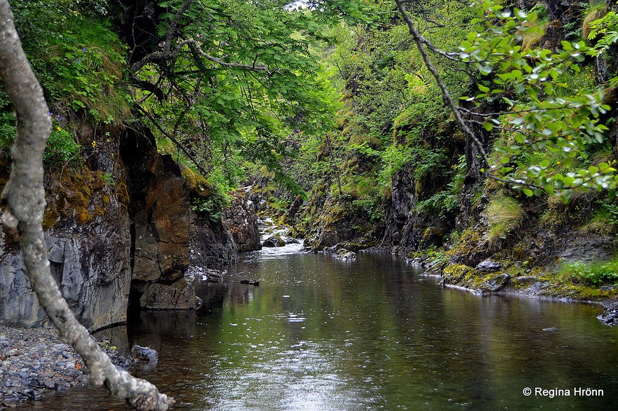
The small river Stórilækur (Big creek) in which Svartifoss cascades, originates below Kristínartindar mountain peaks and runs through Bæjargil gorge.
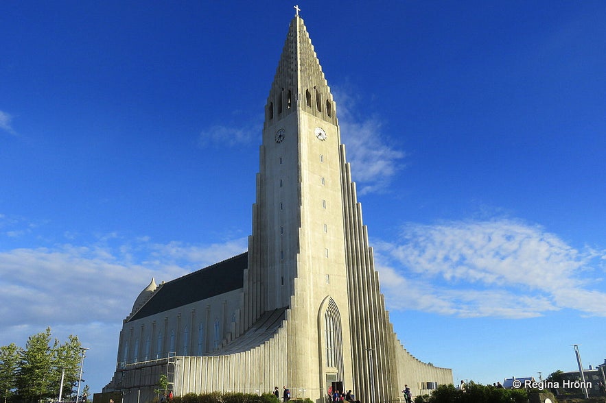
The beautiful hexagonal basalt columns at Svartifoss are believed to have inspired our State Architect Guðjón Samúelsson when he designed the ceiling in Þjóðleikhúsið, our national theatre, and Hallgrímskirkja church, which is one of the landmarks of Reykjavík - Iceland's capital city.
Hallgrímskirkja church in Reykjavík
On your way back from visiting Svartifoss you can either return the same way or cross the bridge by Svartifoss and return on the western side.
On that route, you will get a closer look at some of the other 3 waterfalls, and get to see Selið turf house and the lovely Lambhagi - Lamb Pastures.
The waterfalls below Svartifoss
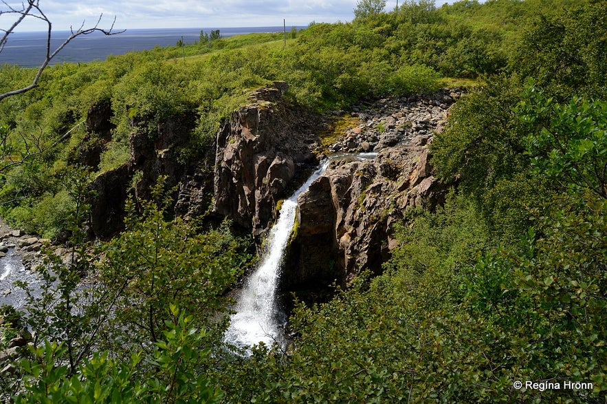
Photo of Magnúsarfoss from the east bank of the river.
The waterfalls below the famous Svartifoss waterfall are called: Magnúsarfoss, Hundafoss, Þjófafoss and the last one was called Lambhagafoss waterfall, but it disappeared during Skeiðarárhlaup glacial burst, which has caused the land to rise some 10 metres since 1800, according to the information sign at Lambhagi.
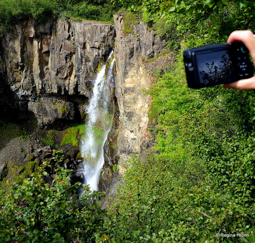
You can see the Magnúsarfoss waterfall from the east bank on your way to Svartifoss, somewhat blocked by the trees. It is the second waterfall which you will see on the hike, the first one you will see is Hundafoss, see my photo below.
Photo of Hundafoss from the east bank of the river
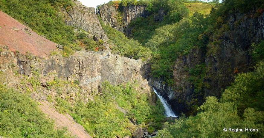
Hundafoss - Dogs' Falls is not clearly visible on the east side of the river leading to Svartifoss, here you can see it from the side but is clearly visible from the west side of the river.
It is beautiful on either side of the river though, just a different angle.
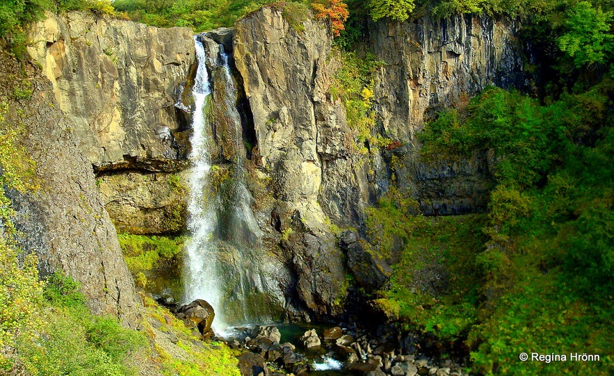
Photo of Hundafoss from the west bank of the river.
Hundafoss waterfall got its name - Dogs' Falls - as during the swelling of the river dogs from the farms there sometimes floated off the waterfall!
The home electric generator in Skaftafell
Magnúsarfoss - the Falls of Magnús (a man's name) can be seen just above the old home electric generator, which operated during the years 1925-1973.
The locals of this area rebuilt the electric generator in 2001.
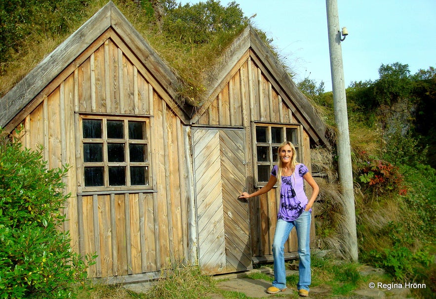
The generator is to be found inside a turf-house-looking structure, which looks quite magical in the gorge. If you pass the turf house you will get a view of the Magnúsarfoss waterfall from the west bank.
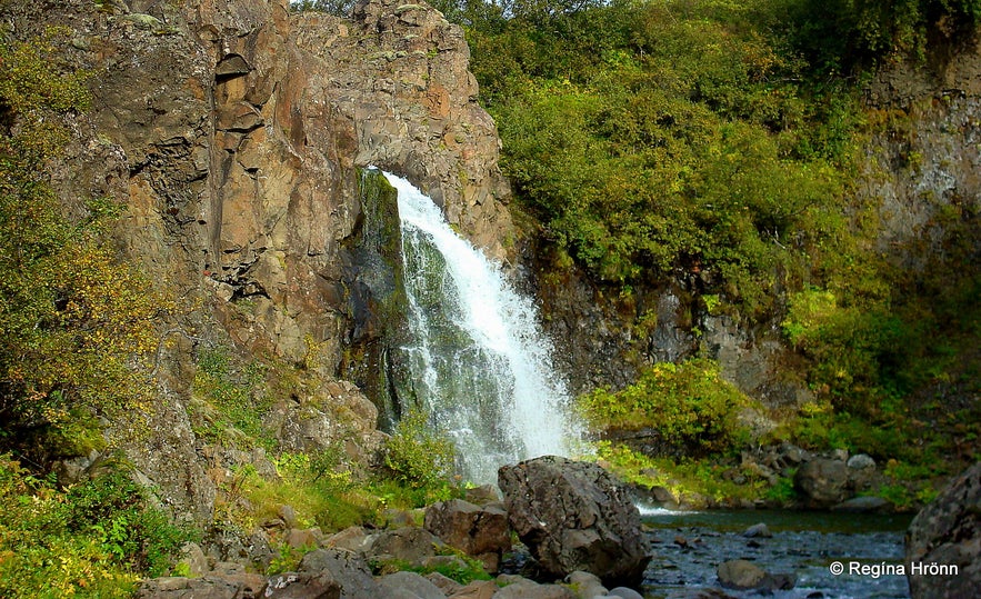
Magnúsarfoss waterfall as seen from the west bank of the river
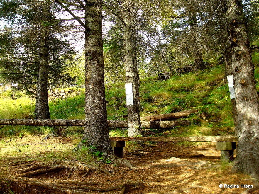
To see some of the waterfalls from the west bank you have to go to the edge of the gorge and there is a lot of shrubbery blocking the view.
And probably even more now since I took these photos a couple of years ago.
I never thought I would be complaining about trees in Iceland ;)
Þjófafoss as seen from the west bank.
Further down in the gorge you can see a small waterfall called Þjófafoss - Thieves' Falls. The waterfall above it is Hundafoss - Dogs' Falls.
Sjónarsker view-dial
Sjónarsker view-dial
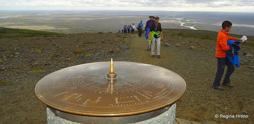
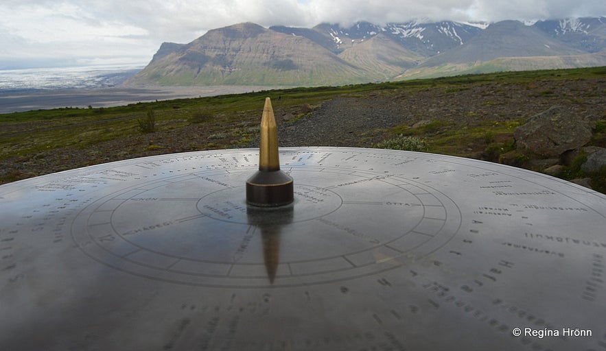
It is well worth it to take a relatively short hike up Skaftafellsheiði heath to Sjónarsker for a great view of the surrounding area. There at 310 meters above sea level, you will find a view-dial.
This view-dial was designed by the instigator of view-dials in Iceland, Jón J. Víðis, and erected by Mennamálaráðuneytið - the Department of Education in 1973.
Jón J. Víðis was my husband's great-uncle, and he is named after him.
The view-dial at Sjónarsker on Skaftafellsheiði heath
The view-dials show the names and heights of the surrounding mountains.
I love finding these view-dials all around my country and seek them out on my travels.
My father-in-law, Jakob Hálfdanarson, has taken over the business of making these view-dials and you can find his view-dials in very many places in Iceland. Search for his name when you come across the view-dials in Iceland :)
Selið turf house
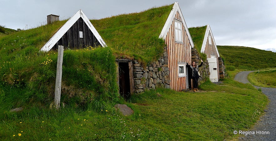
Selið turf house in Skaftafell
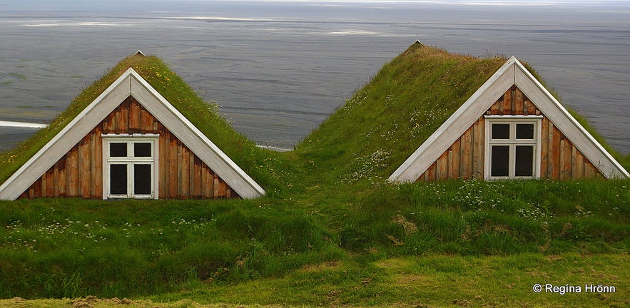
You will find a lovely small turf farm in Skaftafell, called Selið. It was built in 1912 in the southern style and is one of the few remaining turf houses in South Iceland.
Those of you who read my travel-blog know that I have visited all of the turf houses and turf churches in Iceland and have written a travel-blog about most of them.
I adore these traditional houses, in which Icelanders lived for more than a millennium.
See also my travel-blog: A List of the beautiful Icelandic Turf Houses, which I have visited on my Travels in Iceland
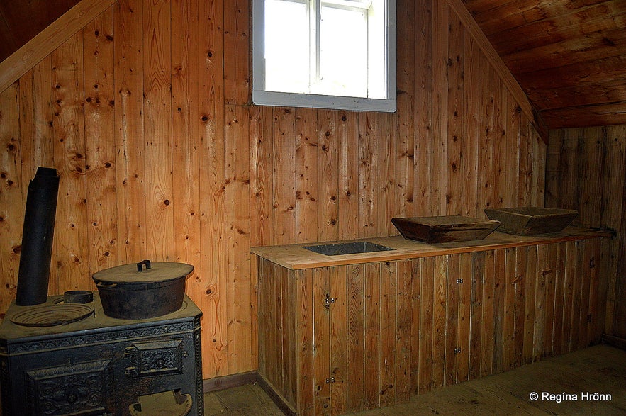
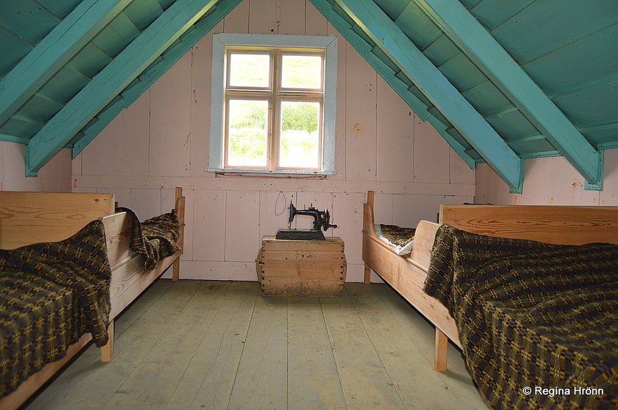
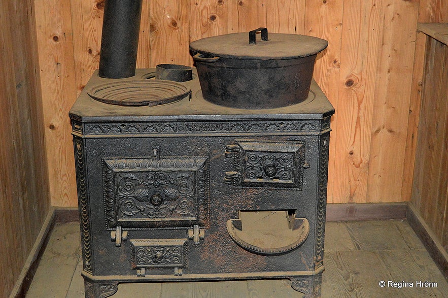
Inside Selið turf house in Skaftafell
Selið turf house was built from driftwood from the coastline of this area, turf and rock.
The cowshed was built under the living room so the heat from the cows could be used to heat the living room and the quarters above.
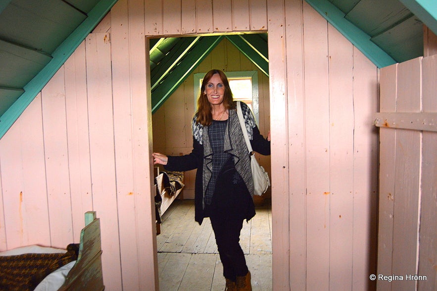
Inside Selið turf house in Skaftafell
This area was much more isolated in the olden days with glacial rivers on both sides - it was indeed one of the most isolated areas in Iceland.
It wasn't until 1974 that ring-road 1 was opened.
Before that time the road used to stop by Mt. Lómagnúpur and we from the west could only have a peek into the landscape further on.
Selið turf house in Skaftafell
People were living at Selið at least in 1832, but at that time the farm was moved up on the hill as the glacial river Skeiðará was playing havoc in this area.
The last inhabitants, Runólfur Bjarnason and his wife Ólöf Sigurðardóttir, lived on this turf farm until 1946.
Most of the remaining turf houses in Iceland, not all though, now belong to and are under the supervision of Þjóðminjasafn Íslands - the National Museum of Iceland.
Selið turf house in Skaftafell
The Director of the National Museum back in 1970 was Kristján Eldjárn, who was later to become the President of Iceland.
He visited Selið turf house and found it to be in such good shape that it deserved to be reserved, and it came into the possession of the National Museum in 1972.
The National Museum repaired and restored Selið from 1970-1980.
We are allowed to have a peek inside the turf house in the summertime, but seeing that the turf houses are historic buildings, then we should tread lightly and show respect. No food is allowed inside Selið.
Selið turf house in Skaftafell
Turf houses must be maintained regularly and during my visit, in the summer of 2015, when I took the photos, it was being painted, so I guess it must be black now.
Here you can see the location of Selið on Google maps.
Lambhagi - Lambs pastures
Lambhagi
Now, this is a beautiful spot in Skaftafell. In the olden days until 1900 ewes were milked by the farmers. Their lambs were kept here in Lambhagi overnight as the ewes were milked in the mornings. After the milking, the ewes and the lambs were reunited.
This is such a lovely spot and imagining it being crowded by lambs makes it even more special.
The river Stórilækur, which flows from the Svartifoss waterfall and the other 3 waterfalls turns into a small still lake here with small fish in it - it is ever so peaceful and serene.
I recommend resting here for a while after visiting the waterfalls, taking in the tranquillity of this lovely place.
By Lambhagi
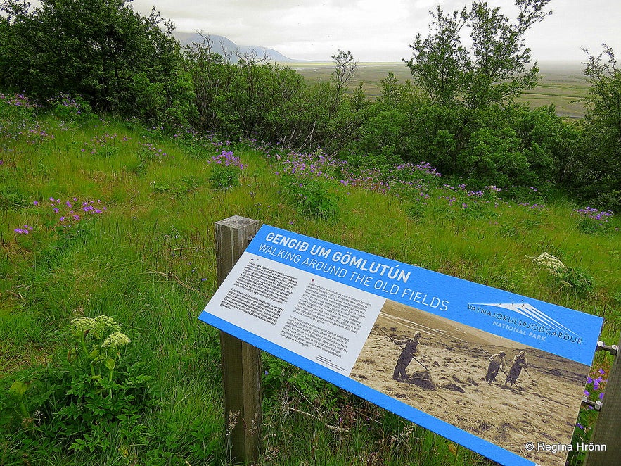
You now return to Skaftafell Visitor centre, which is quite close by. You can also walk around the ruins of the old turf structures in the old field - Gömlutún.
Here you can see the history of farming for the past centuries at Skaftafell, but older ruins are buried beneath the Skeiðarársandur glacial outwash.
The turf house ruins are very well marked with information signs - kudos to Skaftafell for doing such a good job!
I have often seen ruins of turf houses in Iceland and would have loved to know more about them, so I was happy to see all these information signs in Skaftafell.
An information sign in Skaftafell tells us about the old fields
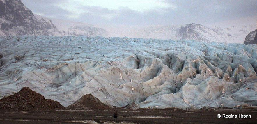
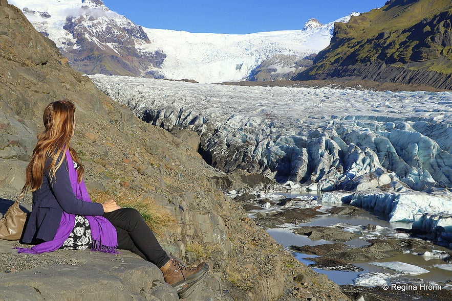
You can also hike to the edge of Skaftafellsjökull glacier, which is an easy 3.7 km round-trip, which starts from the Visitor Centre in the opposite direction of the previous hike. A part of the hike is paved but then it turns into gravel.
The return hike is around 1.5 hours, depending on how close you go to the edge of the glacier.
Be careful here though and never go unaccompanied on the glacier. The glacier is moving and there are deadly crevasses in the ice, which only experienced glacier guides know about.
Skaftafellsjökull glacier
If you fancy going glacier hiking you can join:
Glacier Hiking Tour in Skaftafell
Skaftafell Glacier Hiking Tour - Medium Difficulty on Svínafellsjökull glacier
I would recommend an overnight stay in this area - Hotel Skaftafell
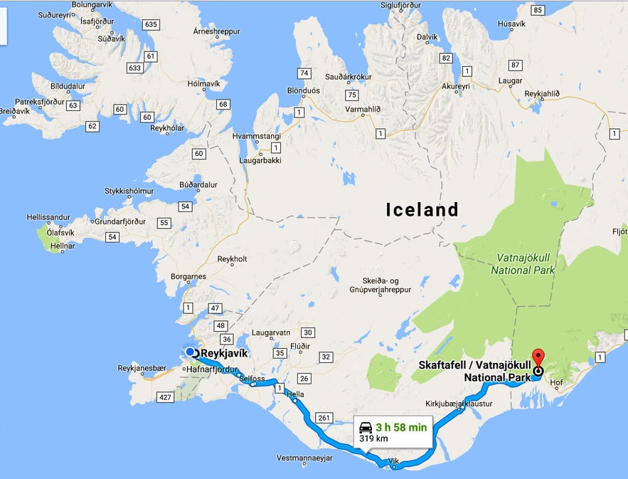
Skaftafell is located some 326 km away from Reykjavík on ring-road 1 and 2 km on road 998 for Skaftafell.
Here you can see the location of Skaftafell and Svartifoss waterfall on the map.
You can rent a car in Reykjavík and drive to Skaftafell in 4 hours.
There are many stops on the way so I would recommend that you take it easy and visit all the major sights on the South Coast along the way, f.ex.:
The beautiful Waterfalls on the South Coast of Iceland
The historic Kirkjubæjarklaustur, Systrafoss & Systrastapi in South-Iceland
Extraordinary Columnar Basalt and Waterfalls in South Iceland - Foss á Síðu & Dverghamrar
and many more...
Svínafellsjökull glacier where a Game of Throne scene was filmed
I haven't hiked on Svínafellsjökull glacier yet, I have just hiked up to the edge of the glacier (see my photo above), but if you want to read up on glacier hikes then I have added a travel-blog about a glacier hike on Sólheimajökull glacier.
And, here you can see what a winter visit in this area might be like, but I visited this area on very cold November days with friends: A Winter Visit to the South Coast of Iceland- all the way to Jökulsárlón Glacial Lagoon.
Have a lovely time at the beautiful oasis of Skaftafell :)


