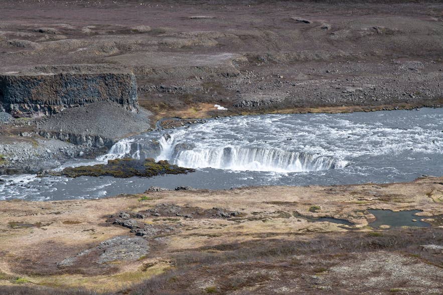
Réttarfoss from Hólmatungur. Photo: Hansueli Krapf, CC BY-SA 4.0
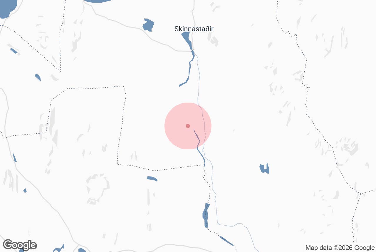
Hólmatungur is a green oasis on the west bank of the glacial river Jökulsá á Fjöllum in Jökulsárgljúfur canyon, North Iceland, inside Vatnajökull National Park.
It lies about 9 km north of Dettifoss and 6 km south of Hljóðaklettar, roughly 85 km by road from Húsavík.
The first part of the name, hólmi, means islet, after the many small islands that the spring-fed streams braid between here before dropping into the muddy glacial river.
Key Takeaways About Hólmatungur
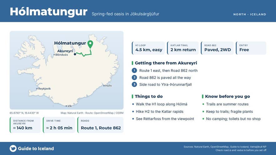
- Spring-fed oasis of birch, willow and angelica in Jökulsárgljúfur, Vatnajökull National Park, between Dettifoss and Hljóðaklettar
- Reached from paved Road 862 via a short signed side road to the Ytra-Þórunnarfjall car park (toilets, 300 m paved path to a viewpoint over Réttarfoss)
- Easy H1 loop 4.5 km (1.5 to 2 h); steeper H2 Katlar trail 2 km return to the rapids
- Trails are summer routes, roughly June to September; free entry; no camping or overnight stay
- About 85 km from Húsavík and 520 km from Reykjavík; a Diamond Circle stop rather than a day trip
Why visit Hólmatungur
Hólmatungur is where the Jökulsárgljúfur canyon changes character.
South of here the landscape is bare rock and sand around Dettifoss and Hafragilsfoss; at Hólmatungur, clear groundwater surfaces from the lava and the canyon floor turns into a mosaic of birch, willow, angelica and wildflowers sheltered under cliffs and scree.
The contrast between these cold, clear springs and the roaring, silt-grey Jökulsá is the point of the visit.
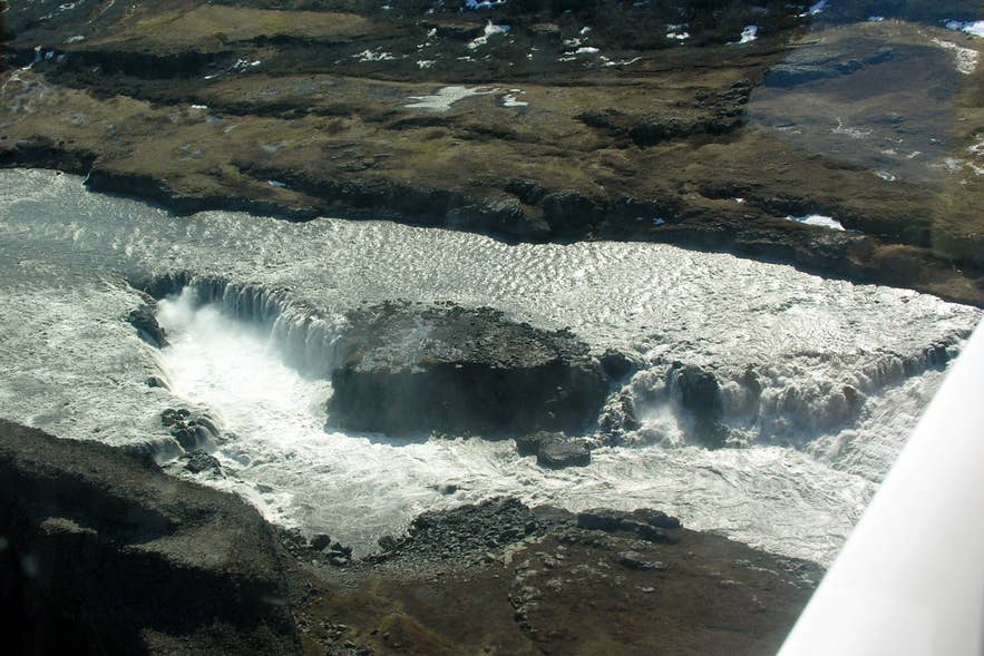
Jökulsá á Fjöllum falls at Hólmatungur. Photo: Hansueli Krapf, CC BY-SA 3.0
The main spring-fed stream is Hólmá, which runs through a chain of islets and drops over small cascades (Hólmárfossar) on its way to the glacial river. Angelica lines its banks in summer.
The glacial river itself has two features worth seeing. Katlar is a narrow stretch where the Jökulsá channel tightens and the river is forced through in violent rapids and whirlpools.
Réttarfoss, just downstream, is the northernmost and lowest waterfall on Jökulsá á Fjöllum, a wide, low drop that you can see from the Ytra-Þórunnarfjall viewpoint, a 300 m paved path from the car park.
Nearby is Vígabjörg, where a neighbouring waterfall, Vígabjargsfoss, used to run until the river shifted its course westward in the first half of the 20th century. Water now flows over Vígabjörg only when the river is high.
The cliffs and ledges show columnar basalt, and birdlife is good in summer along the streams.
How to get to Hólmatungur
Hólmatungur is reached from Road 862 (Dettifossvegur), the road on the west side of Jökulsá á Fjöllum that links the Ring Road (Route 1) with Ásbyrgi. The whole 53 km of Road 862 between the Ring Road and Ásbyrgi is now paved and is open all year, weather and conditions permitting.
A short signed side road leads east from Road 862 to the car park at Ytra-Þórunnarfjall, which the national park describes as accessible to all, with a 300 m paved path to a viewpoint over the canyon and Réttarfoss. There are toilets at the car park.

Jökulsá á Fjöllum canyon from Hólmatungur. Photo: Hansueli Krapf, CC BY-SA 4.0
From Reykjavík the drive is around 520 km and 7 to 8 hours, so Hólmatungur is a stop on a North Iceland or Diamond Circle itinerary rather than a day trip from the capital.
From Húsavík it is about 85 km via Ásbyrgi, and from Ásbyrgi Road 862 runs about 30 km south past the Vesturdalur turn-off to the Hólmatungur side road. A normal car is fine; in winter check road.is before setting out.
Hólmatungur can also be reached on foot. The marked canyon trail runs from Vesturdalur to Hólmatungur (about 8 km, roughly 3 hours, rated challenging by the park) and from Hólmatungur on to Dettifoss (11.5 km, about 3 hours).
The full Ásbyrgi–Dettifoss route is 32 km and normally done over two days, but there is no camping at Hólmatungur, so hikers overnight at Vesturdalur or Dettifoss.
From the car park, the H1 Hólmatungur circle is a 4.5 km loop (1.5 to 2 hours, easy) through the vegetated area and along Hólmá. The H2 Katlar trail is a 2 km return walk (0.5 to 1 hour) down to the rapids; the park rates it challenging because of the steep ground.
Best time to visit
Road 862 is open all year when weather allows, but the trails, toilets and ranger services at Hólmatungur are a summer operation, and hiking here is realistic from June to September.
Late June to August gives the fullest vegetation, with angelica in flower along Hólmá. Early September brings autumn colour to the birch and willow and far fewer people. In winter snow can close the road, so check road.is before setting out.
Safety and practical tips
- Stay on marked trails. The vegetation is fragile and the national park asks visitors not to trample it.
- The Katlar path is steep and can be slippery when wet; the glacial river is fast and cold, so keep well back from the edge.
- Weather in Jökulsárgljúfur changes quickly and the canyon rim is exposed. Bring a windproof layer and sturdy shoes even for the short loop.
- There are toilets at the Ytra-Þórunnarfjall car park but no shop, water point or fuel. The nearest services are at Ásbyrgi (restaurant and supermarket in summer, and the Gljúfrastofa visitor centre, open year-round) and on the Ring Road.
- Entry is free. No camping or overnight stay is allowed at Hólmatungur.
Nearby attractions
- Réttarfoss – 2 km, the lowest waterfall on Jökulsá á Fjöllum, visible from the Hólmatungur viewpoint
- Hljóðaklettar – 6 km, the "Echo Rocks" basalt formations at the mouth of Vesturdalur
- Vesturdalur Valley – 7 km, start of the canyon trail to Hólmatungur, with a campsite
- Hafragilsfoss – 7 km, the waterfall between Dettifoss and Hólmatungur
- Dettifoss – 9 km, often called Europe's most powerful waterfall
- Ásbyrgi – 15 km, the horseshoe canyon and the national park visitor centre
Tours that visit Hólmatungur
- Diamond Circle Tour from Akureyri – a day tour from Akureyri that covers the Diamond Circle, including the rock formations of Hljóðaklettar and Hólmatungur in Jökulsárgljúfur.