


Google Maps works well in Iceland, and its directions are rarely wrong. The real gaps are spotty signal in remote areas and no detail on road conditions. Learn where to trust it, how to use it offline, and which official tools to check before you drive.
Many travelers rely on Google Maps while exploring Iceland with rental cars because it makes navigating between destinations simple. It's also a valuable companion on self-drive tours, where you'll follow a planned itinerary at your own pace.
Why You Can Trust Our Content
Guide to Iceland is the most trusted travel platform in Iceland, helping millions of visitors each year. All our content is written and reviewed by local experts who are deeply familiar with Iceland. You can count on us for accurate, up-to-date, and trustworthy travel advice.
Choosing the right maps of Iceland and knowing how to use them is one key to a smooth trip. Google Maps covers the road network, fuel stations, and attractions, which makes driving in Iceland far easier. Its weak spots are the remote interior of Iceland and live road conditions, so offline backups matter.
A little setup now saves a lot of stress later. Read on to see exactly where Google Maps is reliable, where it falls short, and how to get it ready before you tackle one of the best road trips in Iceland.
What To Know About Using Google Maps in Iceland
-
Google Maps works reliably for Reykjavik, the Ring Road, major towns, and the main tourist attractions.
-
Google Maps covers the Highlands, F-roads, and remote areas, but signal can drop, and the app gives no detail on road conditions, so a suggested route may be closed or not suitable for your car.
-
Since Google Maps does not show road closures reliably, checking live road conditions and the local weather forecast before you drive is essential for your safety, not optional.
-
Download Google Maps for offline use before you travel, since it works without a signal once areas are saved.
-
Treat Google Maps as one tool among several, alongside offline maps and the SafeTravel app for remote and Highland routes.
Where Google Maps Works Well in Iceland
Google Maps works well across Iceland's main roads, major towns, and main attractions, and its maps and directions are accurate. It gives driving directions and live timing wherever you have a signal, and it's popular with locals and visitors because it finds places by name instead of an exact address.
For the routes most travelers actually drive, it is dependable. It handles Reykjavik city navigation, the Golden Circle, the South Coast, most of the Ring Road, and other regions with good signal, with accurate timing and directions most of the time.
It is also dependable for finding businesses, opening hours, and fuel stops. For standard self-drive on the paved roads, Google Maps covers almost everything you need. When the app does fall short in Iceland, the problem is almost never the map itself. The real gaps are signal and road-condition information.
Where Google Maps Falls Short in Iceland
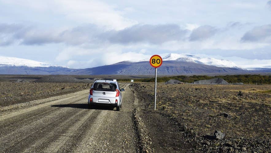
Google Maps rarely shows inaccurate maps or directions in Iceland, even in remote regions. Its two real limitations are different. Mobile signal is spotty in parts of the country, and the app gives no detail on road conditions, which matters because not all cars are suitable on all roads in Iceland.
Google Maps also optimizes for the fastest route, not the safest, and it does not know Iceland's road surfaces or rental rules. That is why it sometimes offers a gravel shortcut that can be rough, unsuitable for 2WD rental cars, or off-limits under your insurance.
Here is what that means for the regions travelers ask about most:
-
The Eastfjords, the Westfjords, and North Iceland: Navigation is completely fine across the Eastfjords, the Westfjords, and North Iceland, so prepare for the conditions instead. Check road conditions before mountain passes or side roads. The signal may drop, but you won't get lost, and you will regain connection.
-
The Highlands: Routes in the Highlands suit only 4x4 vehicles and experienced drivers, and signal is spotty, so offline maps are key. F-roads close seasonally and suddenly, so research conditions before every drive, and don't cross rivers in a rental car.
For the interior and remote routes, do not rely on Google Maps alone. Download a dedicated offline app such as OsmAnd or Maps.me, which includes F-roads and hiking trails, and confirm which routes are open with Iceland's Road Authority website. If that sounds like a lot, the simplest option is to skip the self-drive and join Highland tours.
Using Google Maps Offline in Iceland
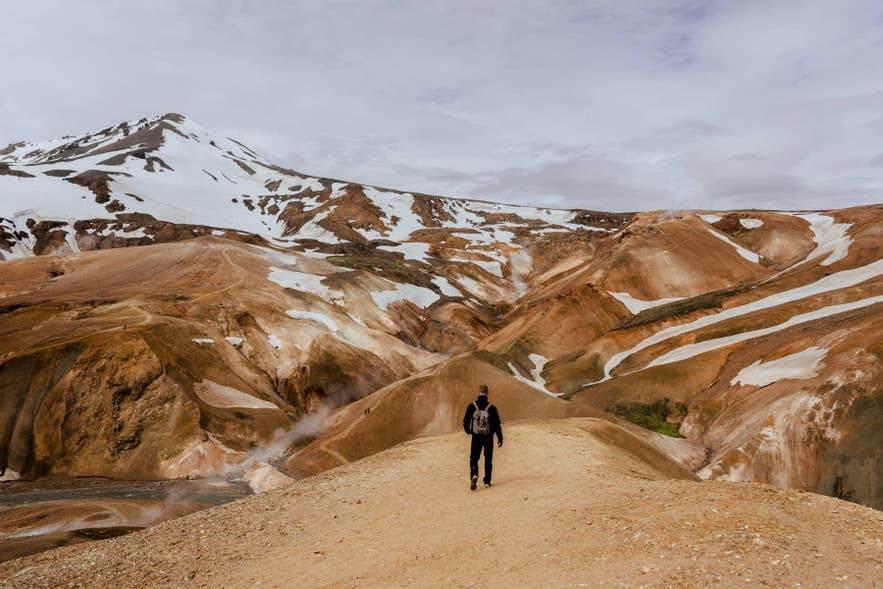
In Iceland, downloading Google Maps for offline use is essential, not optional. Signal drops across the Highlands, the Westfjords, and remote valleys, and there are long stretches between towns where you cannot reload a map. Save your route before you set off, so you keep turn-by-turn directions even with no data.
To save Iceland for offline use:
-
Open Google Maps on Wi-Fi or data and tap your profile picture.
-
Tap Offline maps, then Select your own map.
-
Drag and zoom to cover the part of Iceland you plan to drive.
-
Tap Download. If the whole country does not fit on one map, save it in two parts instead.
-
In Offline maps settings, turn on Auto-update offline maps so they refresh on Wi-Fi and do not lapse.
Save your offline map before you land, or download each region whenever you reach Wi-Fi, so you are ready when the signal drops. Note that offline maps show roads and directions but not live traffic.
Using Google Maps With CarPlay and Android Auto in Iceland
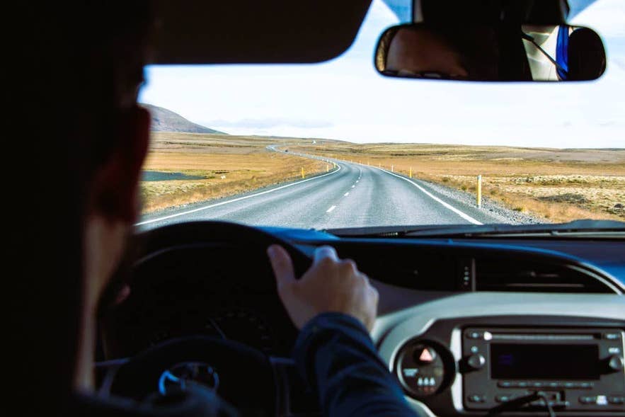
Google Maps runs on most rental car screens through Apple CarPlay and Android Auto, putting navigation on the dashboard instead of your phone. Plug your phone into the car's USB port, or connect wirelessly if the car supports it, and accept the on-screen prompt to start.
CarPlay shows Apple Maps by default, and Android Auto shows Google Maps, but both let you launch Google Maps, Waze, or another app. On the dashboard, offline maps work on the car screen, and voice guidance keeps your eyes on the road.
Not every rental has CarPlay or Android Auto, especially older or budget cars, so check when you book. If yours does not, a phone mount near the dashboard is a safe alternative to holding the phone.
Google Maps vs. Waze and Apple Maps in Iceland
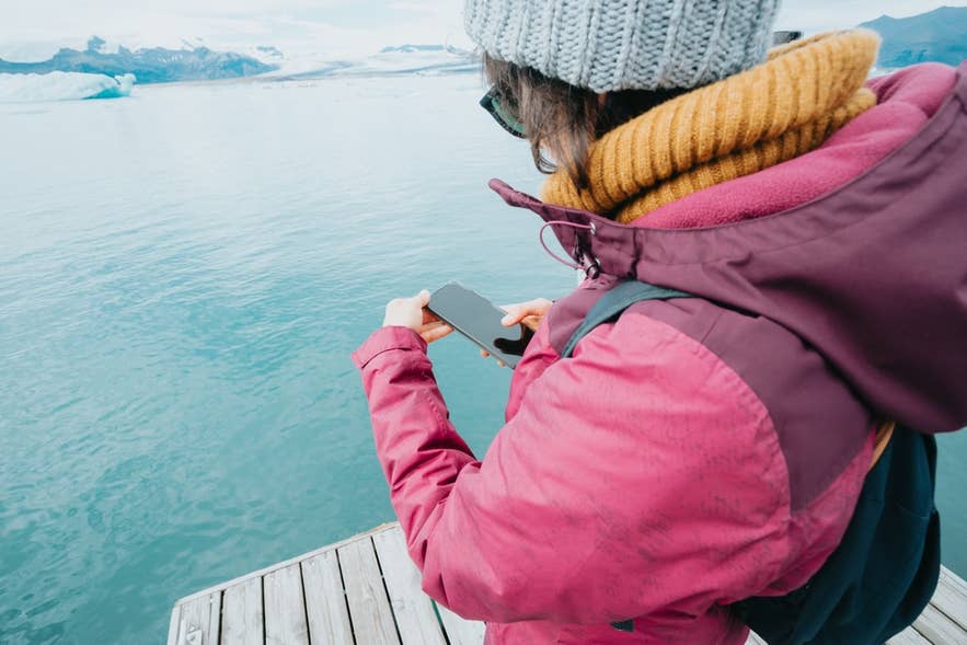
Google Maps is the most well-rounded navigation app in Iceland, but every option has trade-offs. The table below compares Google Maps, Waze, Apple Maps, and a built-in GPS so you can see where each one fits.
| Option | Best for | Watch out for |
|---|---|---|
| Google Maps | Offline use and place-name search across most of the country | May route you onto rough gravel or 4x4-only F-roads, and won't reliably flag Iceland road closures |
| Waze | Live traffic, hazard, and speed-camera alerts on busy routes and in Reykjavik | Needs constant data, and coverage is sparse in the Highlands and Westfjords |
| Apple Maps | Clean iPhone and CarPlay integration, with offline maps since iOS 17 | Generally weaker rural detail and place search in Iceland |
| Built-in car GPS | Works without using your phone's battery or data | Older units can have outdated maps and may need an exact address rather than a place name |
For most travelers, Google Maps with offline maps is the strongest base, with Waze a useful extra around the capital and on the Ring Road.
Apps To Pair With Google Maps in Iceland
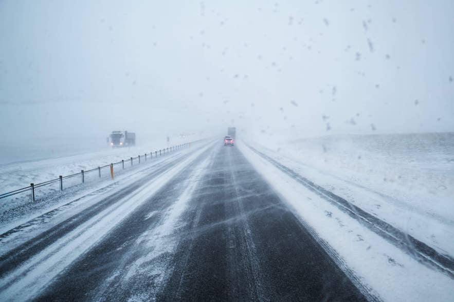
Google Maps shows you the route, but in Iceland, knowing the directions is never enough to get in the car and drive. You have to check the road conditions and the weather forecast before you set off, every time. This is a safety essential, not an optional extra, because conditions change fast and roads can close with little warning.
Google Maps won't flag closures or weather alerts, and you can't use it to call for help in an emergency, so set up these official services before you drive:
-
Road conditions: Check the Icelandic Road Authority website for closures and surface warnings nationwide. This is the source Google Maps cannot replace.
-
Weather: Watch for weather warnings from the Icelandic Met Office app before every drive, since wind and storms can close roads quickly.
-
Safety alerts: Use SafeTravel and the 112 Iceland app for safety alerts and emergency help, especially on remote or Highland routes.
-
Local addresses: Iceland's online directory and map service is best for pinning exact local addresses and small businesses that other maps place imprecisely.
For more on conditions and seasonal hazards, see our guide on how to drive in Iceland safely.
Mobile Signal and Data Coverage in Iceland
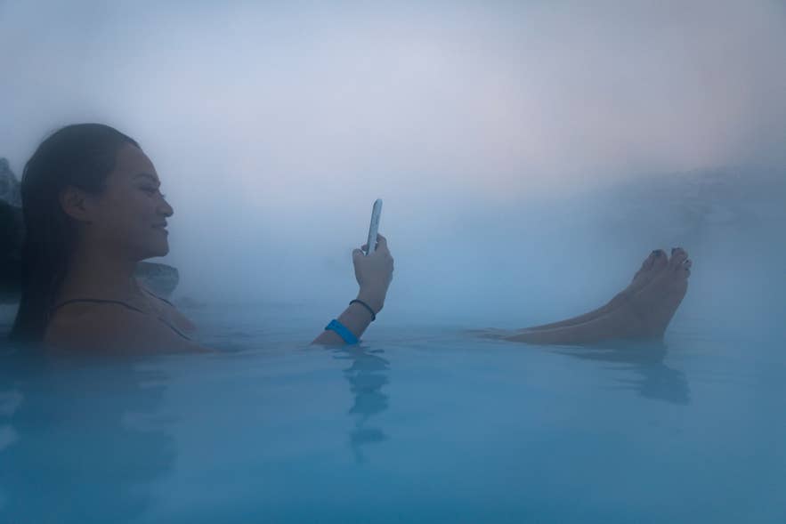
Mobile signal in Iceland is strong along the Ring Road, in major towns, and around the main attractions, so live navigation usually works there. Coverage thins in the Highlands, parts of the Westfjords, and remote valleys, where data can disappear entirely.
No SIM can create a signal in those dead zones, so downloading your maps offline is the real safeguard. Where there is coverage, a local SIM card or eSIM from an Icelandic provider such as Siminn, Nova, or Vodafone gives you the strongest connection, and a 4G mobile Wi-Fi hotspot rental is a simple option for groups.
Free Wi-Fi is also available off the road. Keflavik Airport, most hotels and guesthouses, cafes, restaurants, larger gas stations, and tourist information centers all offer it, which is the perfect moment to download or refresh those offline maps.
Navigating Iceland With Google Maps
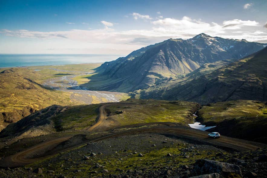
Google Maps is reliable for navigating Iceland around the classic sights. Download your offline maps of areas that are likely to have weaker signal before you go, and you will rarely have a problem.
For the Highlands, F-roads, or remote areas, use Google Maps as one tool among several, and always check road conditions and the weather forecast first. Directions alone are never enough in the country, so see our guides to driving in Iceland and finding your way on Icelandic roads.
Have a favorite offline-map trick or navigation tip from your own road trip in Iceland? Or are you planning your first Iceland road trip and deciding which apps to download? Share it in the comments below.

Born on the west side of Reykjavík and raised in the heart of downtown, I’ve spent most of my life surrounded by Iceland’s beauty. I’m a proud father of two and an avid traveler who has visited five continents—but Iceland remains, without a doubt, the most breathtaking place I know. I’ve traveled extensively throughout the country, exploring its hidden gems and natural wonders. My passion for Iceland and for helping others experience it led me to co-found Guide to Iceland, where we focus on connecting travelers with unique, local services and unforgettable adventures.


