


10
简直太棒了!
Yi Duann
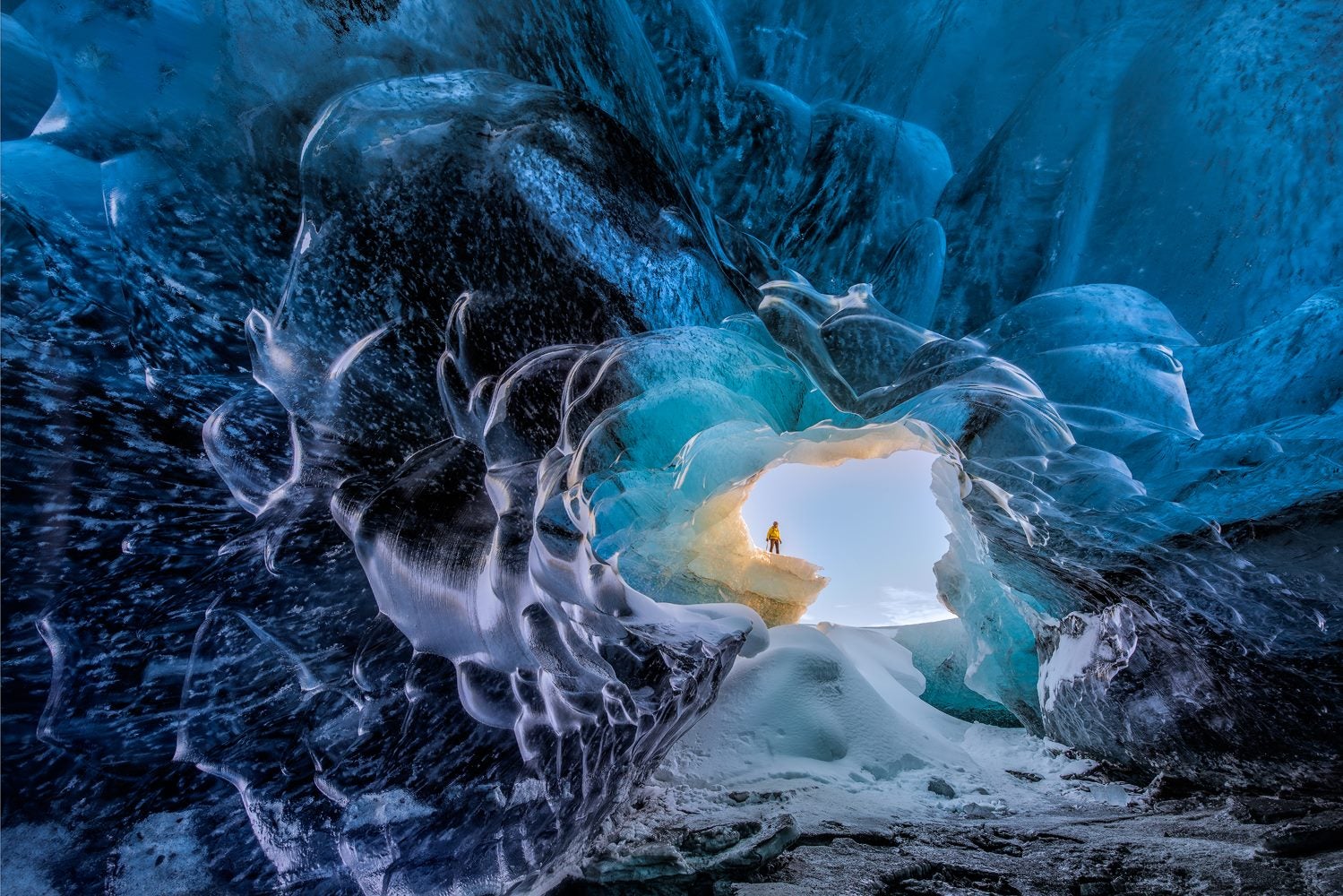
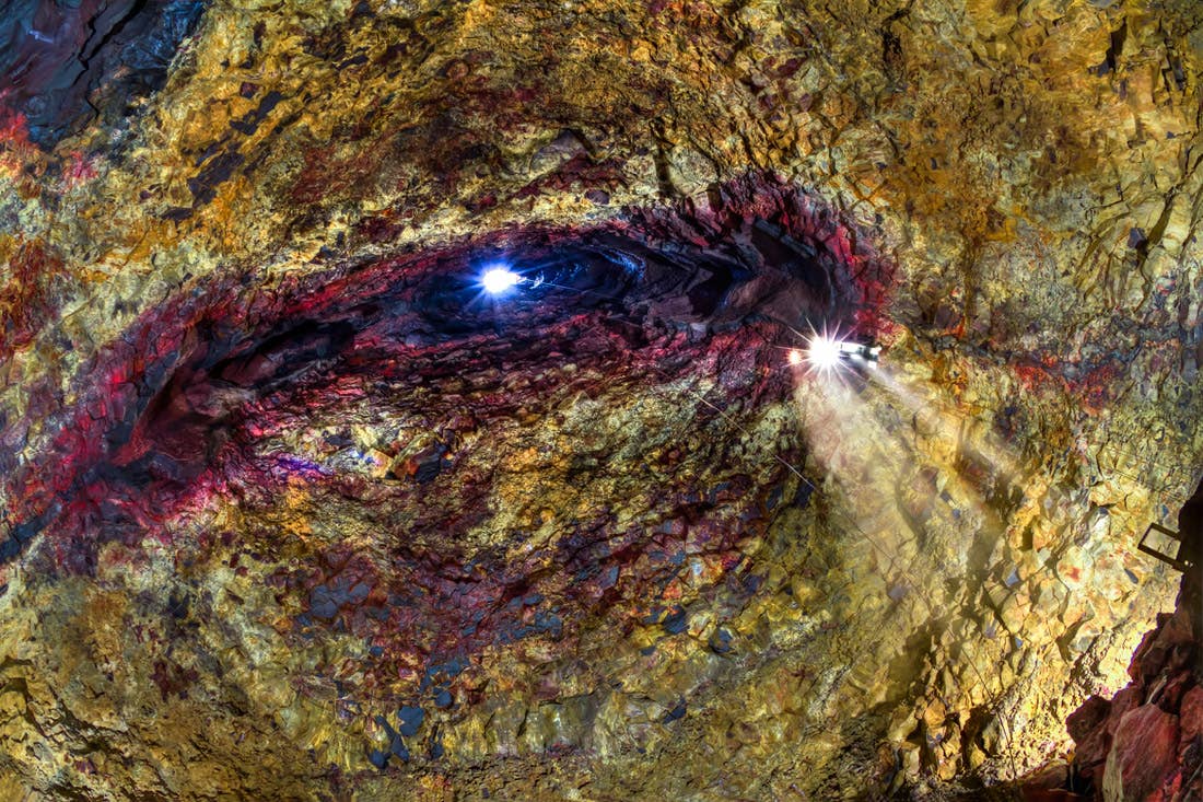
评论 瓦特纳冰川蓝冰洞终极探秘旅行团|自驾至冰河湖集合
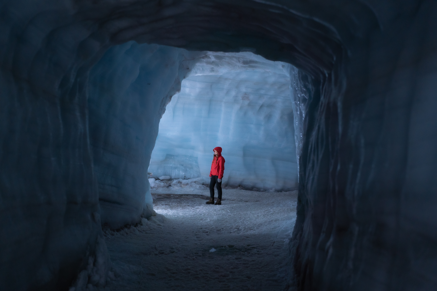
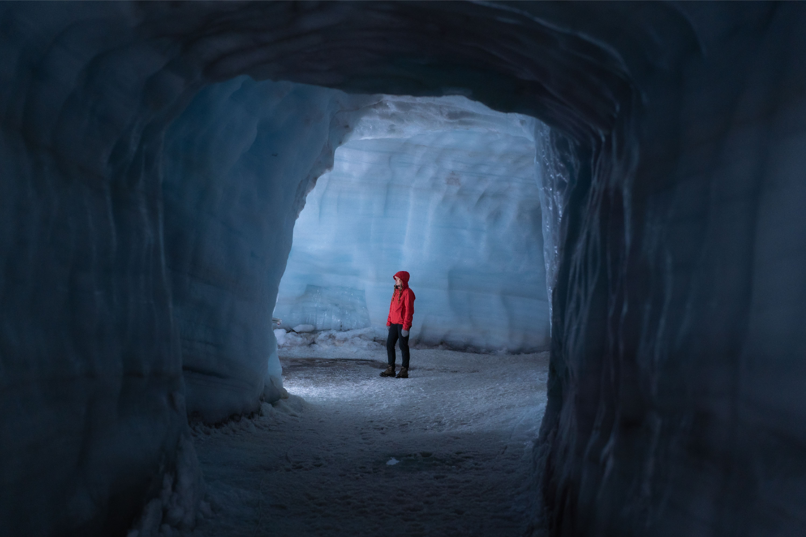
It was super awesome, our guide made sure that we all feel safe, and she taught a lot on the ice cave. It was a very pleasant journey, and I would definitely recommend others to book this tour.

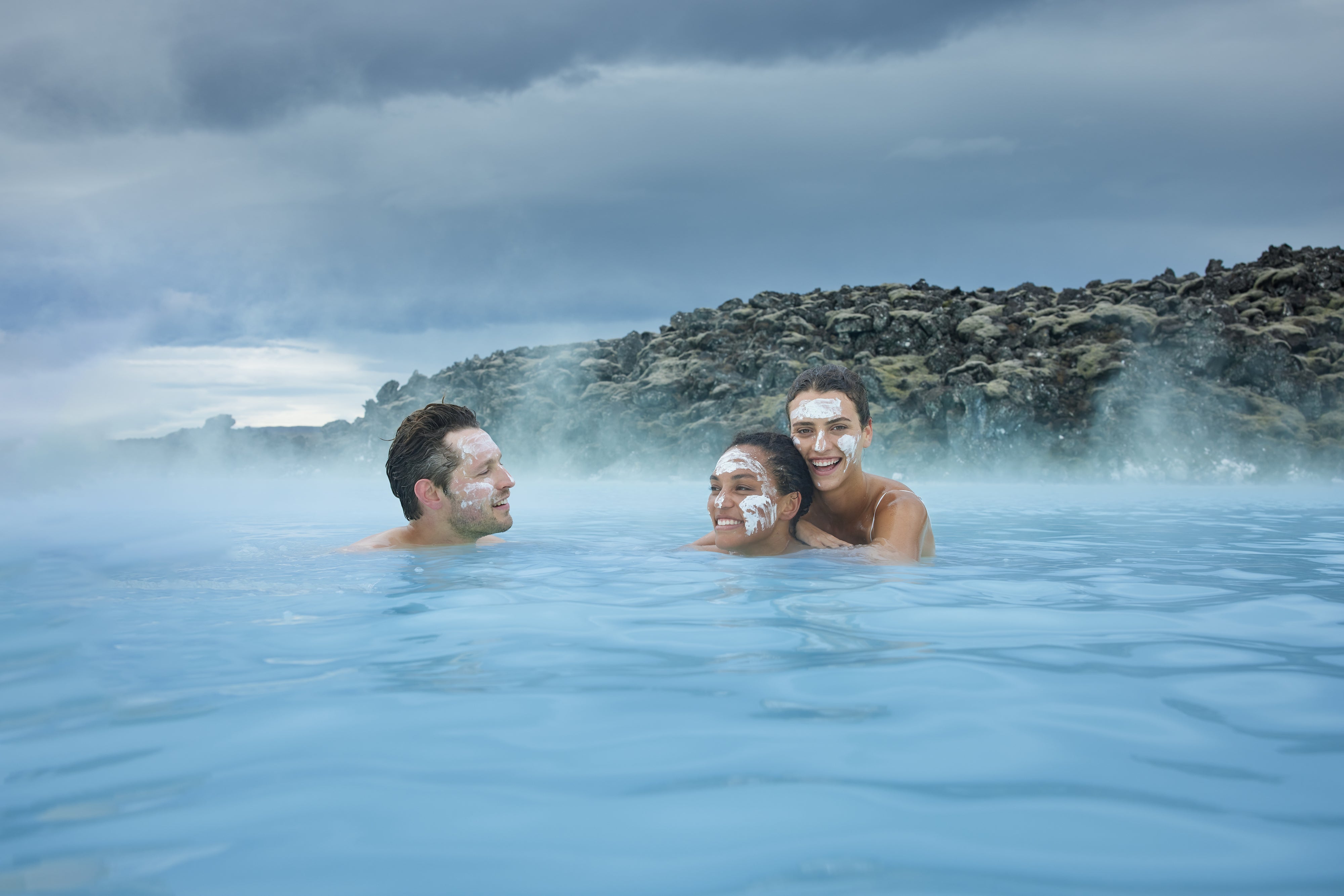
选择您理想的冰岛体验
选择日期
添加旅客
了解我们为何是您冰岛之行的首选
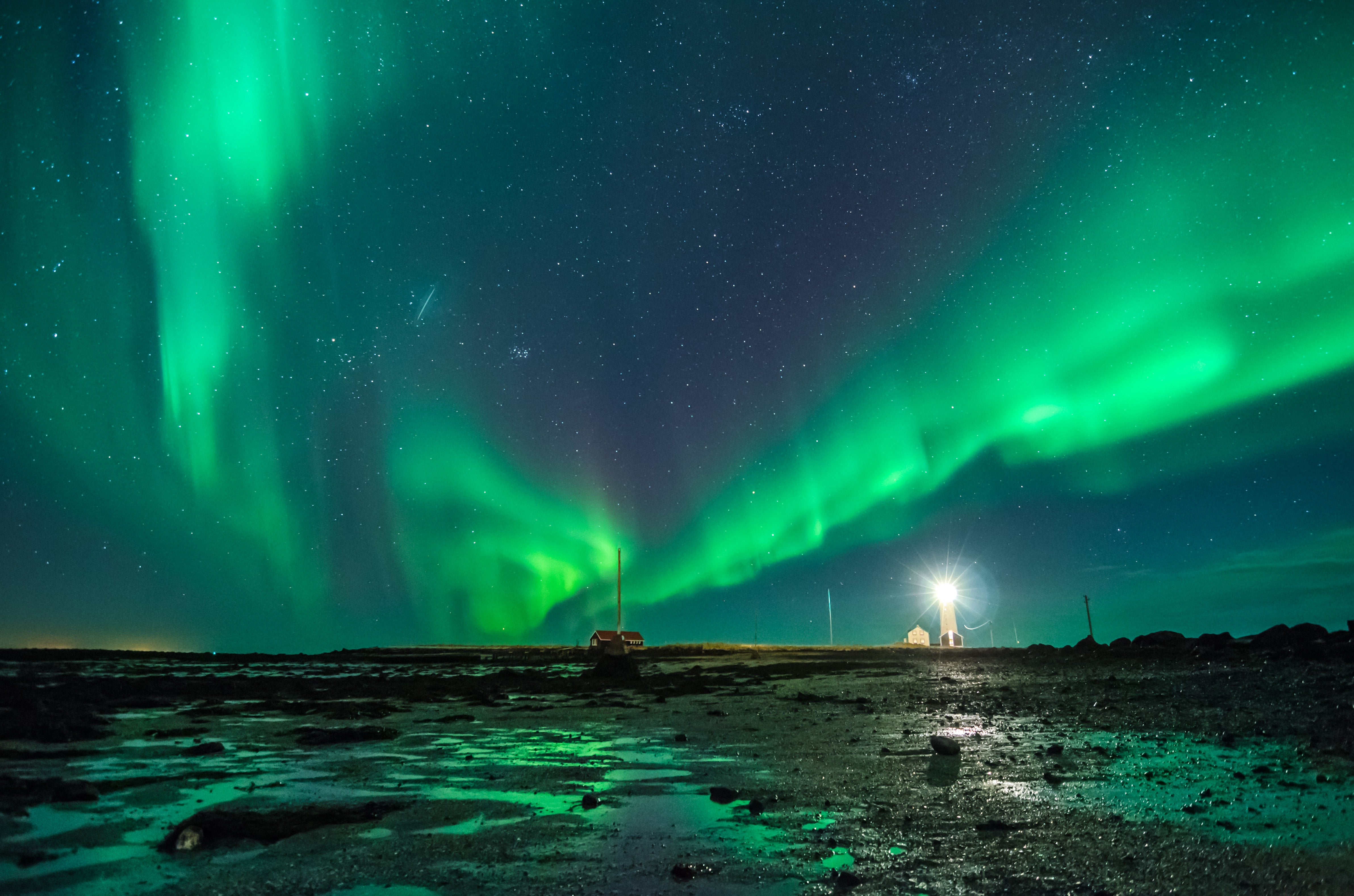
探索非常丰富的旅游项目和套餐
阅读来自世界各地客户的第一手评价
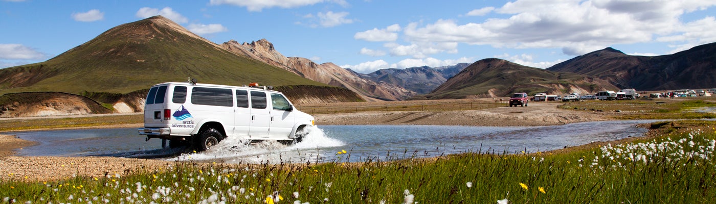
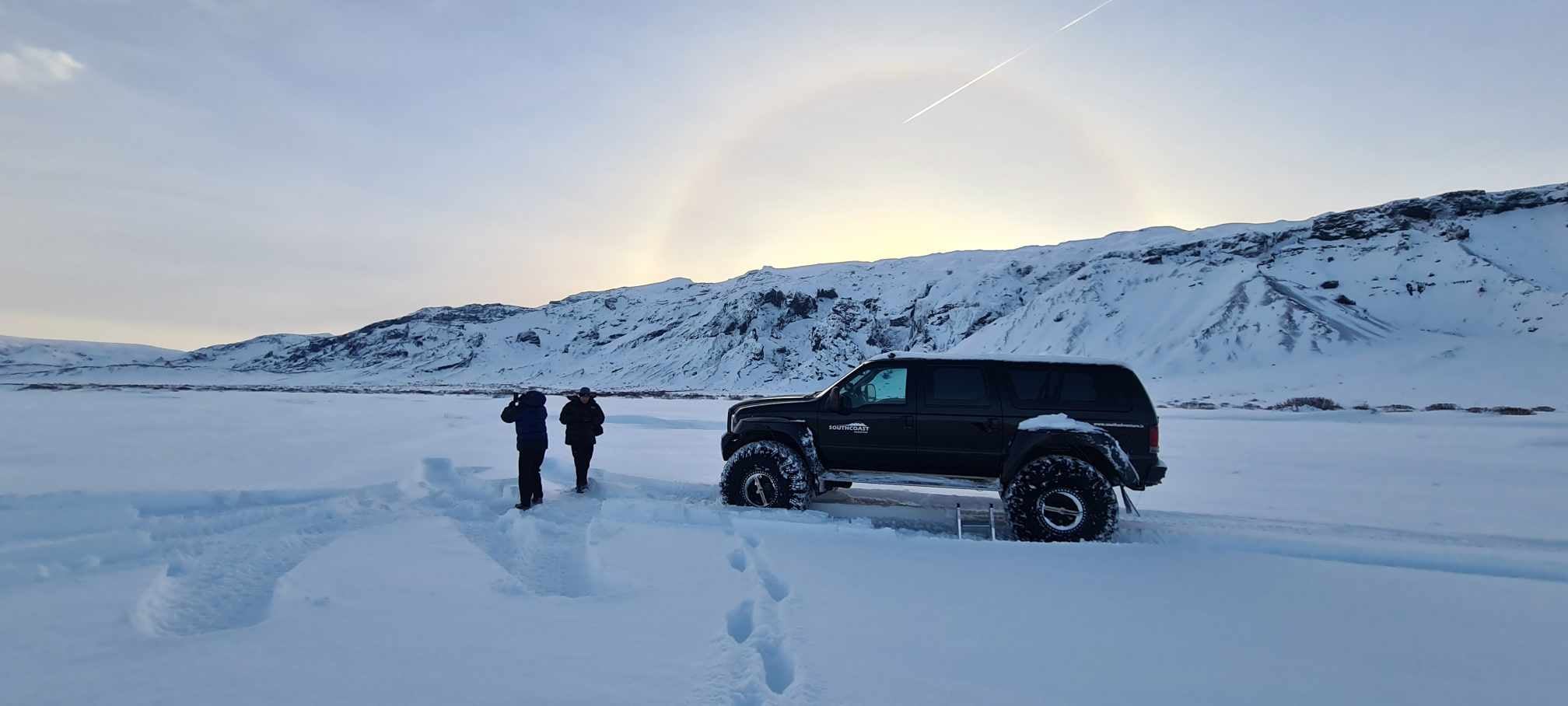
吉普车的冰岛语是“jeppi”,这个冰文单词源自英文。第二次世界大战期间,美国驻军将吉普车引进冰岛,自此吉普车便成为了冰岛人的全民交通工具;吉普车以其出色的越野性能,成为了应对冰岛粗犷地貌的完美车型。
在世界其他国家,特别改装吉普或超级吉普(“怪兽卡车”)常被用于炫耀式的表演,而在冰岛,超级吉普却具有非凡的使用价值。
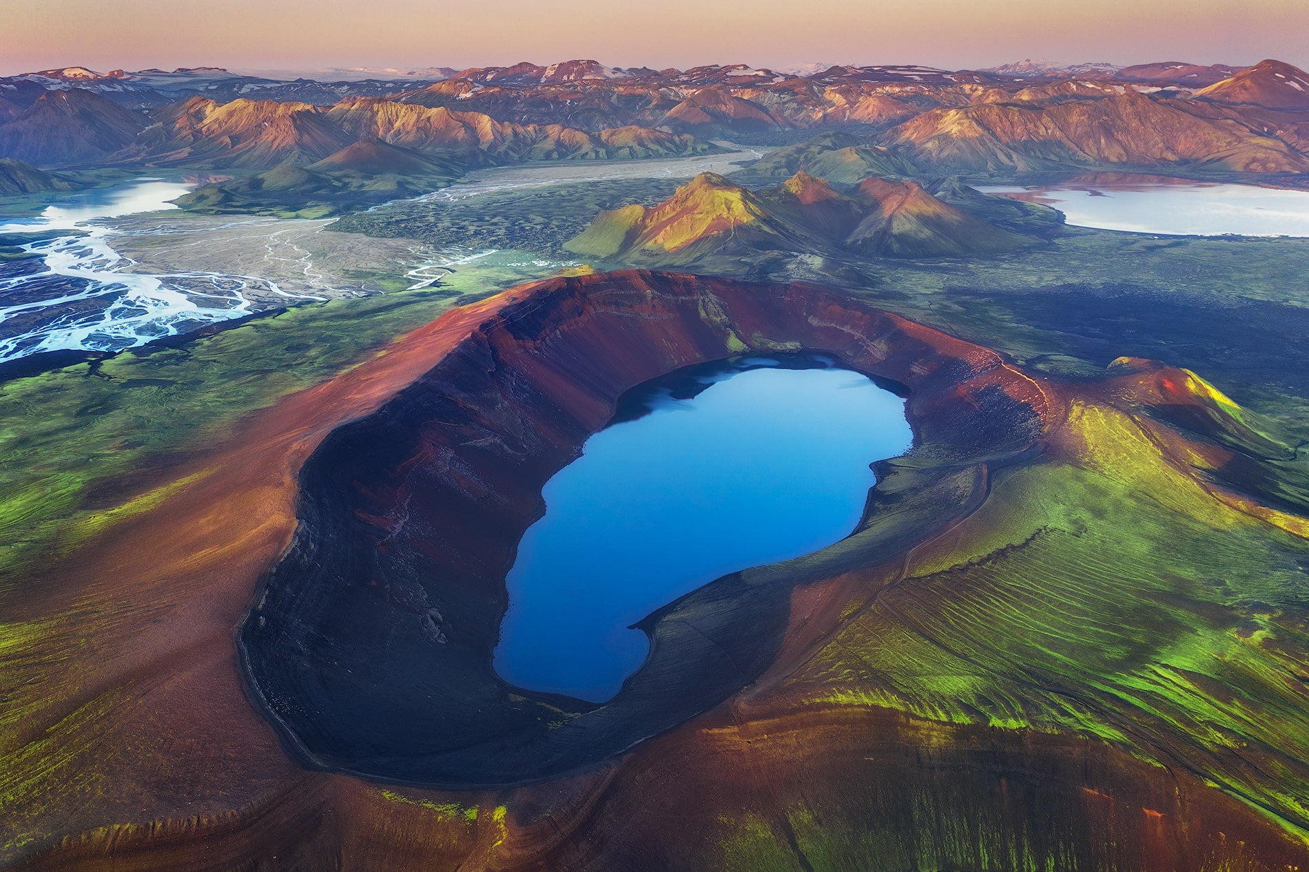
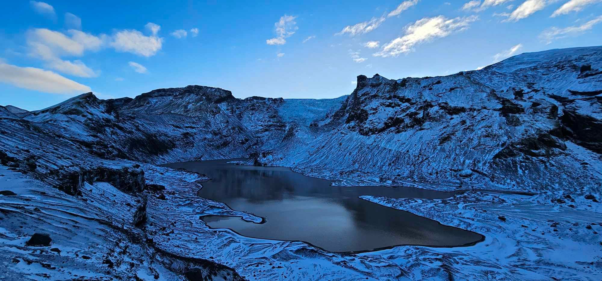
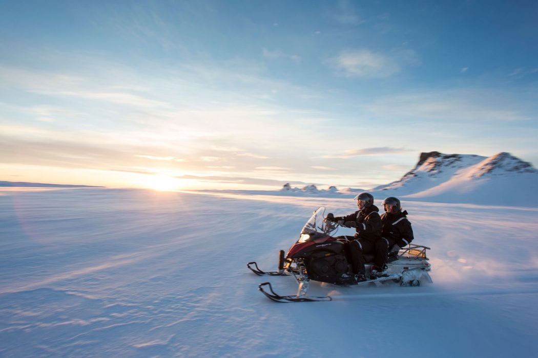
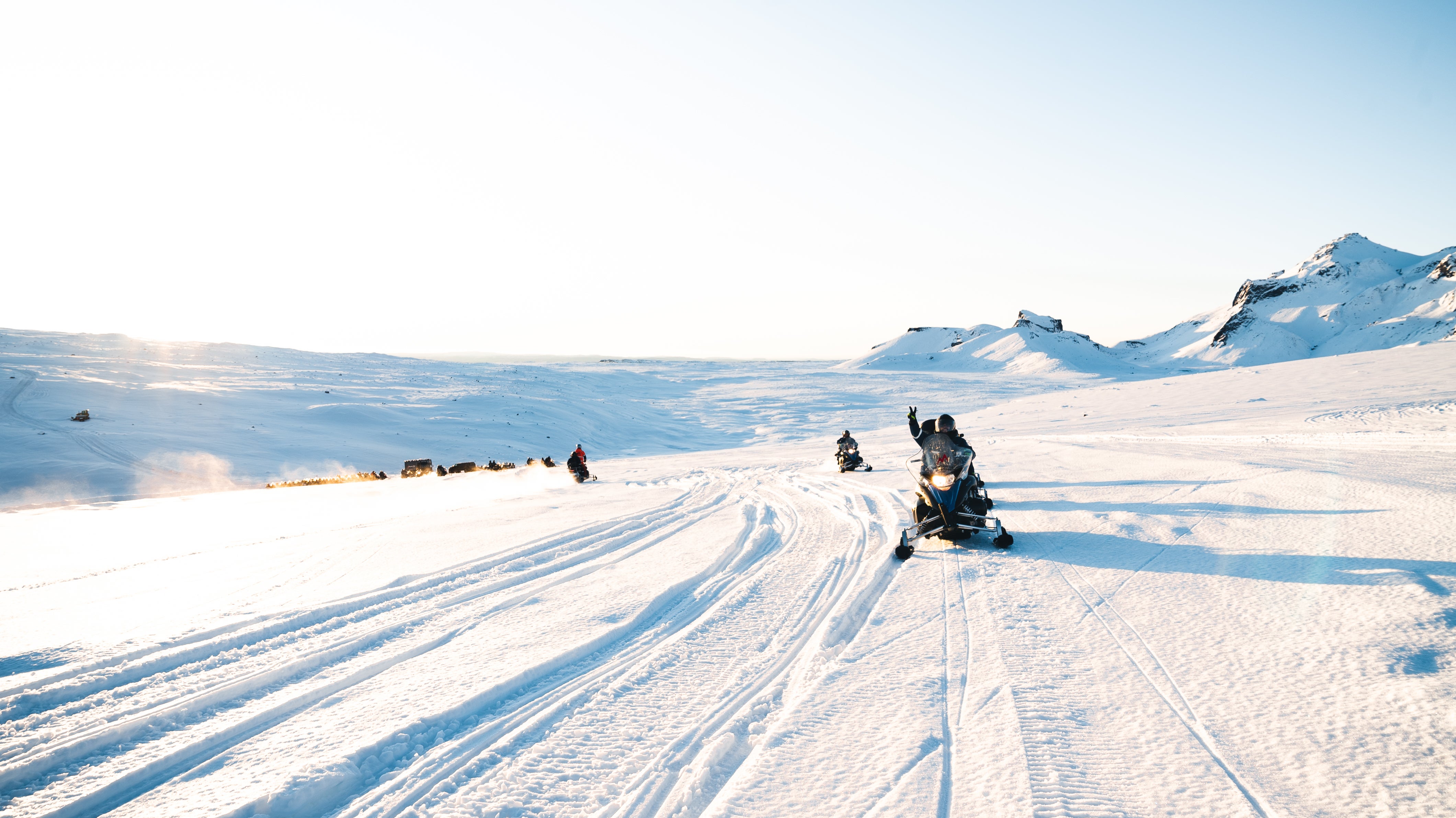
超级吉普或 “fjallajeppi ” (山地吉普) 具有超强的驾驶性能,只有在其帮助下,人们才有可能深入冰岛高地、冰川等偏远难行的地貌区域,亲身领略冰岛自然最纯粹原始的野性之美。超级吉普是游览上述景区的最完美的交通方式。
超级吉普配有巨型轮胎与引擎,而车上座位有限,因此超级吉普旅行团的名额也十分有限,旅行者将收获更加亲密、更具个性化的小型旅行团旅行体验;旅行团的专业向导也有更多的机会与时间为您详细介绍冰岛的自然与文化。小型旅行团人员集合更加便利,这也将保证您享有更长的游览时间,让您充分享受超级吉普旅行团的乐趣。
冰岛路况与天气复杂而多变,超级吉普旅行团则风雨无阻,带领您深度领略大众与小众景区,为您留下您刺激难忘的旅行体验,将最真实的冰岛壮景展现在您眼前。
超级吉普旅行团能够为您提供更具个性化的旅行体验,也更具探险的激情与刺激。超级吉普能够到达普通巴士、小巴不能到达的高地、冰川地区,为您提供深入冰岛自然的完美机会。
当然可以,欢迎您发邮件至bingdao@guidetoiceland.is,联系我们的中文客服。


将冰岛最大的旅行平台下载到您的手机中,一站式管理您的整个行程
使用手机摄像头扫描此二维码,然后点击显示的链接,将冰岛最大的旅行平台添加到您的手机中。输入您的电话号码或电子邮件地址,以接收包含下载链接的短信或电子邮件。